Moving for work can feel like a puzzle. You want a manageable commute, a home that fits your budget, and a neighborhood that matches your lifestyle. If Colorado Springs is on your radar, the good news is you have options across established areas and fast-growing corridors. In this guide, you’ll learn where the major jobs are, how traffic flows, which neighborhoods pair well with each commute, and a simple plan to build your shortlist quickly. Let’s dive in.
Where the jobs are and how people commute
Major employment hubs
Colorado Springs has several big employment centers that shape daily traffic. Military installations sit in different parts of the metro: Fort Carson to the southwest, Peterson Space Force Base east of downtown, Schriever Space Force Base farther east, and the U.S. Air Force Academy to the north. You will also find major healthcare employers near downtown and east-central corridors, plus defense, aerospace, and tech clusters north of downtown around the Interquest area and other northeast corridors. Downtown also attracts government and professional services.
Main commuter corridors
Interstate 25 is the north–south spine that links the Air Force Academy, northern neighborhoods, central Colorado Springs, and south to Fountain and Fort Carson. On the east side, Powers Boulevard, Marksheffel Road, Union Boulevard, and Academy Boulevard carry a lot of daily traffic into neighborhoods and bases. US‑24 and 8th Street are key east–west routes that feed central areas and mountain access.
Typical drive times and what affects them
Most workers drive, and many commutes fall in the 15 to 35 minute range. The metro’s median commute has historically landed in the low to mid 20 minutes. Expect peak slowdowns on I‑25 and the major arterials during morning and evening rush. Winter storms, ice, and traffic incidents can add significant time, so plan a buffer on bad-weather days.
What this means for you
Where you work should guide where you live. If your job is at a base, look for neighborhoods with direct access to the nearest arterial. If you work downtown or in healthcare, central and near‑central communities can shorten your drive. If your team sits in the northern defense and tech clusters, strong I‑25 access from the north is valuable.
Established vs newer communities: commuter tradeoffs
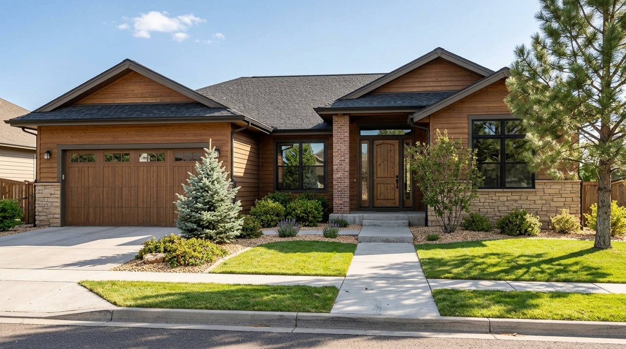
Established neighborhoods
Older areas near downtown and the city’s core offer mature trees, diverse architecture, and an established street grid. Pros include shorter drives to central employers and walkable amenities in select districts. Cons can include smaller lots for the price, potential maintenance needs, and tighter inventory in popular pockets.
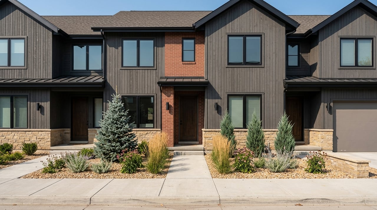
Newer subdivisions
Newer communities are expanding along the eastern and southeastern edges, plus exurban areas like Falcon and Peyton. You will often see larger homes, modern layouts, energy‑efficient features, community amenities, and HOAs. The tradeoff is usually a longer commute to central job hubs and fewer mature trees or retail within walking distance right away. HOA dues and rules vary, so review them closely.
Neighborhoods that fit common commutes
Downtown, Old North End, and UCCS area
If you work in the central business district or at nearby hospitals, established neighborhoods around downtown and the Old North End keep your commute short. These areas typically offer character homes, established parks, and quick access to services. They are popular with people who value a central location and a simpler daily drive.
Old Colorado City and Broadmoor area
For workers based downtown or in nearby healthcare roles, parts of the west and southwest can be practical. These established neighborhoods offer access to central corridors and a variety of housing types. If you split time between downtown and the south side, this location can balance both.
South, Widefield, and Fountain for Fort Carson
If your primary destination is Fort Carson, south‑side neighborhoods including Stratmoor, Widefield, and Fountain can cut drive times. You will find a range of price points and housing types, including more affordable options compared to some central or west neighborhoods. Commuting north from here to central or northern jobs will usually take longer, especially during peak periods.
East and southeast for Peterson and Schriever
For Peterson and Schriever, consider east and southeast neighborhoods with direct access to Powers or Marksheffel. Many newer subdivisions are located along these corridors, which can shorten door‑to‑door time to the bases. Traffic can be heavier on Powers during rush hours, so test your route at your actual commute time.
Briargate, Interquest, and Monument for USAFA and northern tech
If you work at the U.S. Air Force Academy or in northern defense and tech hubs, Briargate and other northern communities offer quick I‑25 access. Interquest‑area development has added both jobs and amenities. Monument and nearby northern suburbs give you additional options, with the tradeoff of longer trips to downtown.
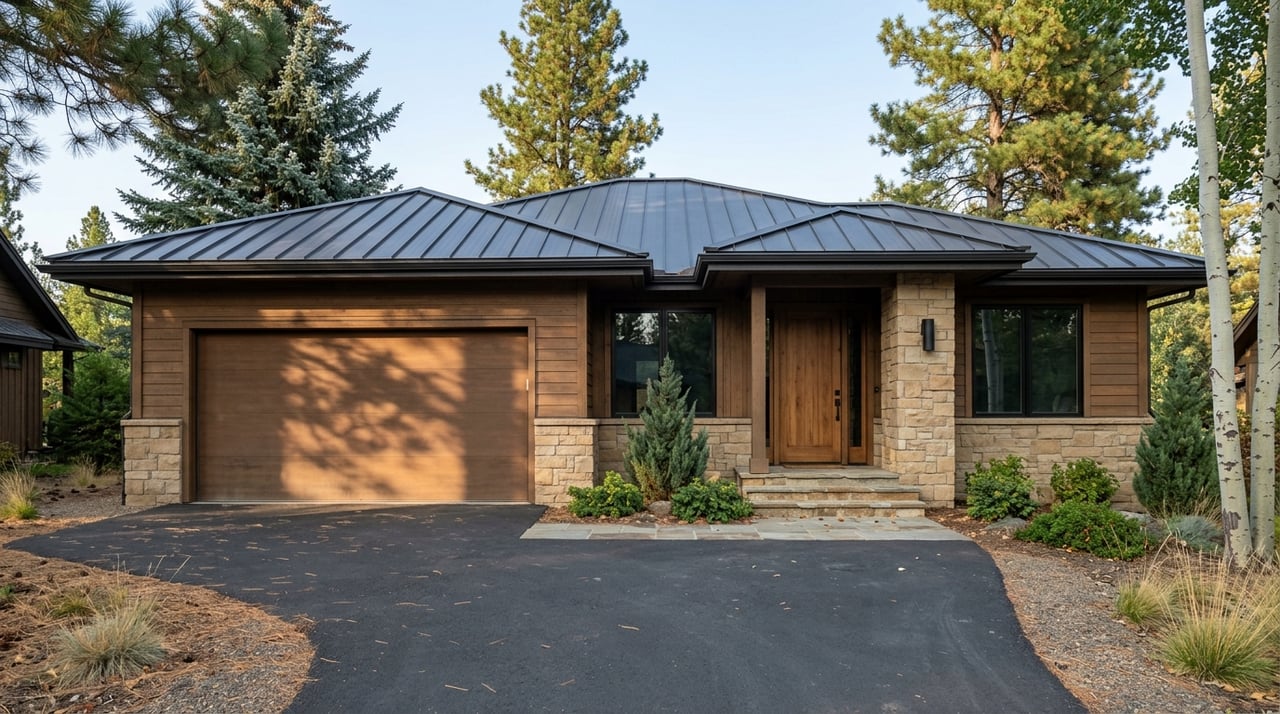
Exurbs: Falcon, Peyton, and Black Forest
If you want newer construction or more space, exurban areas east and northeast of the city are worth a look. Falcon and Peyton often deliver larger homes for the price. Black Forest offers a rural feel, but wildfire risk and longer commutes are important factors to evaluate.
Costs, schools, and risk factors to review
Your true monthly cost
Beyond the mortgage, budget for property taxes, homeowners insurance, HOA dues, and routine maintenance. In El Paso County, property tax mill levies vary by district, which means taxes can differ from one neighborhood to the next. Newer homes may reduce near‑term maintenance but can include HOA dues and community fees, while older homes can require upfront updates.
Schools and boundaries
Multiple school districts serve the metro, including District 11 in central areas, Academy District 20 in the north, and Harrison and Fountain‑Fort Carson in the south, with other districts covering exurban communities. If schools are part of your decision, always confirm current boundaries and options directly with the districts and state resources. School details can change and can be different across nearby neighborhoods.
Weather, wildfire, and flood
Colorado Springs sits around 6,000 to 7,000 feet, so you will feel higher elevation, stronger sun, and winter patterns that affect driving. Snow and ice can slow the interstate and arterials. Some areas face wildfire exposure, especially in forested fringes, and parts of the city and county are in or near floodplains. Review hazard disclosures and check local maps for the properties you are considering.
Future roads and growth
Road projects and new commercial development can affect commutes and quality of life. Look into planned improvements and future land‑use maps for your target neighborhoods. A project that finishes in the next 1 to 5 years might change your daily drive and add new amenities.
Sample commute matches you can test
- Peterson SFB: East and central neighborhoods, downtown‑adjacent, and areas along Powers often offer the most direct access.
- Schriever SFB: Eastern neighborhoods with Marksheffel or Powers connectivity typically reduce drive time.
- Fort Carson: South and southwest neighborhoods, Widefield, and Fountain usually provide the shortest commute.
- U.S. Air Force Academy: Northern areas like Briargate and Monument give strong I‑25 access.
- Downtown hospitals and central employers: Downtown, Old North End, UCCS‑adjacent, and nearby established neighborhoods help keep trips short.
Use live maps at your actual start and end times to validate these patterns. Run weekday tests both ways to see typical and worst‑case scenarios.
A simple framework to pick your spot
Align budget, commute, and lifestyle
Every good relocation plan balances three variables. Budget includes your price range and ongoing costs like taxes, insurance, and HOA. Commute is your maximum door‑to‑door time and the routes you will rely on during peak hours. Lifestyle covers preferences like yard size, neighborhood character, school needs, amenities, and your maintenance tolerance for older versus newer homes.
Step‑by‑step checklist to build a shortlist
- Pinpoint your work address and typical shift or hours.
- Set a maximum acceptable door‑to‑door commute and a “bad weather” tolerance.
- Map 15, 25, and 35‑minute drive‑time circles at real commute times to narrow your options.
- Cross‑check those areas with your budget to filter out mismatches quickly.
- Layer in lifestyle basics like school district, lot size, HOA rules, and neighborhood feel.
- Use virtual tools like street view and neighborhood videos to reduce your list to 3 to 5 micro‑areas or properties.
- Plan in‑person visits only for the finalists, so you make the most of travel days.
How a virtual consult speeds everything up
A focused virtual session can accelerate your search in a big way. You can run live commute simulations for your exact hours to pressure‑test neighborhoods. An agent can pre‑screen properties that fit your commute, budget, and lifestyle, then walk you through virtual tours and neighborhood videos to flag any red flags. You can also review school boundary links, HOA rules, and typical tax and utility profiles to compare true monthly costs before you step on a plane.
What to bring to your consult
- Work address and standard schedule, plus any hybrid days.
- Target monthly housing budget including HOA and insurance.
- Must‑have features and any deal‑breakers.
- Notes on school needs, yard size, and commute tolerance.
- A short list of example homes you like in different areas.
Putting it all together
If you want the shortest commute, start with the neighborhood clusters closest to your employer and verify routes during peak times. If you want more house for the budget, newer subdivisions along Powers and Marksheffel or exurban options like Falcon and Peyton can deliver value. If you prefer character and a central location, established neighborhoods near downtown and UCCS can trim your daily drive. The right answer depends on your personal mix of budget, commute, and lifestyle.
When you are ready to narrow your options, we can help you move faster. Schedule a quick virtual consult, and we will map your commute at live traffic times, pre‑screen neighborhoods that fit your goals, and create a clear plan for in‑person tours. Start your Colorado move with confidence by connecting with Lifestyle International Realty Colorado.
FAQs
What are typical Colorado Springs commute times during rush hour?
- Many commutes fall in the 15 to 35 minute range, with a metro median historically in the low to mid 20 minutes and longer delays during peak periods or winter weather.
Which neighborhoods usually reduce drive time to Fort Carson?
- South and southwest areas such as Stratmoor, Widefield, and Fountain often offer the most direct access to Fort Carson.
Where should I live to reach both Peterson and Schriever efficiently?
- East and southeast neighborhoods along Powers and Marksheffel typically provide the best access to both Peterson and Schriever.
Is there public transit or commuter rail in Colorado Springs?
- Mountain Metro Transit operates fixed‑route bus service, and most commuters drive; there is currently no commuter rail serving the metro.
How do HOAs and new‑home community dues affect costs?
- HOA dues, community assessments, and differing property tax mill levies can change your true monthly payment, so review them alongside your mortgage and insurance before you buy.